


#RIDEPUEBLO
The Lil Chile
Nice. With a bit of spice.
Developed by Grassroots Gravel
Gain:
1,817' feet
Condition:
Varied category 2 gravel
Season:
Year-round
37.6 miles
Distance:
Straight out of town, straightforward, and straight classic.
The Lil Chile is a simple out-and-back ride, with just enough climbing, descending, and cornering to keep you on your toes.
This route features our favorite small yet mighty climb/descent. It’s an S-curve that you’ll know immediately once you’re on it.
Route highlights

The Lil Chile features two separate Red Creek roads…Red Creek Springs East just out of town, and Red Creek Springs West which starts just southwest of Lake Pueblo State Park. Overall the two roads are a consistent gradual climb from town, though Red Creek West becomes consistently rolling about three miles from its start. Conditions on both roads can vary wildly from not quite “champagne” gravel…maybe a Coors Light or so…to looser or chattery gravel in places. This variety is what keeps it fresh out there, and makes this route part of our weekly group rides.
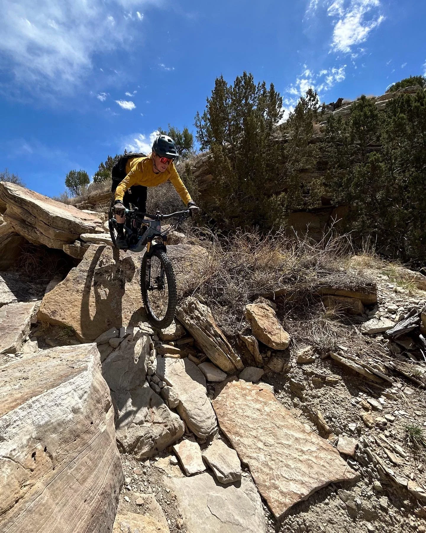
Photo: Tyler Phillips Photography


There’s a hill on Red Creek West that’s an absolute favorite. Descending will have you leaning into the turns of this classic S-curve, though you’ll need to pay attention to the changes in camber and radius as you get to the bottom and occasional water-crossing. As a climb, this one is a classic “I finally rode that thing” type of segment. We love it for that.


Getting the crew together is a big part of what we’re about…and everyone is always welcome in this crew. We lead weekly group rides year-round, and encourage folks to push themselves. This route is part of our rides every week, and it’s a great place to push yourself at any pace. Everyone’s riding their own race and we’re here for it. Check out our group rides page here.
After Your Ride

Pueblo Riverwalk
The Riverwalk is located in the heart of downtown Pueblo. There’s a whole spectrum of food spots, art galleries, and more along the Riverwalk and Union Avenue.

Arkansas River
The Arkansas River is at the core of Pueblo’s identity as well as its recreation. The Pueblo Whitewater Park is accessed from 4th street and is likely the largest in Colorado. Surf’s up y’all.
Lake Pueblo Trails
The Lake Pueblo Trails are located at Lake Pueblo State Park just a few miles from town. Us locals call it the "Res." We think you'll call it one of best trail systems in Colorado. Camping, fishing, boating, hiking, and mountain biking opportunities at the park make it one of the best multi-sport destinations in the state. Fun fact: Lake Pueblo is the most-visited state park in Colorado.
Photo Credit: Southern Colorado Trail Builders
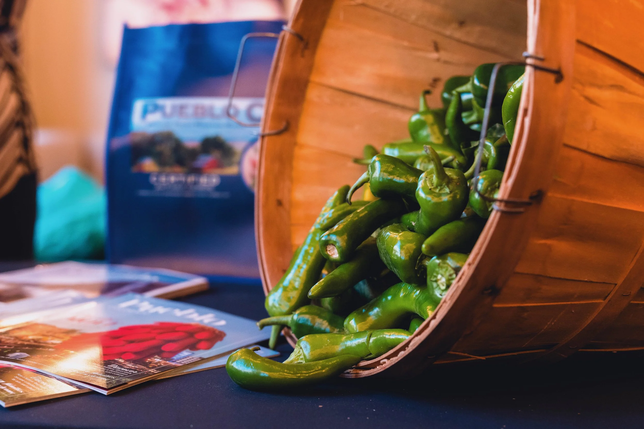
Pueblo Agriculture & the Pueblo Chile
The Pueblo Chile has become a symbol of our city, and is the subject of heated debate. Get it? Heated? Locally and regionally featured in the classic Pueblo green chili slopper hamburger and in innumerable other recipes, this is a pepper you need to try.
Visit any locally-owned restaurant and you’re guaranteed to see it on the menu.
Photo: Scott Tribby Photography
How we plan and navigate our rides

Planning a great route is one of our favorite things to do here. Maps represent possibilities - whether they’re mounted to a sign, unfolded on a picnic table, or lit up on the computer screen.
We build all of our online routes using RideWithGPS. It’s simple to use and simple for folks to access. It has free mobile and desktop options so there’s an option for everyone.
The screenshot here is the Route Planner tool. It’s where you can try out different options and if you’re unsure whether you can ride a segment, there’s a “global heatmaps” feature that can show estimated rider traffic on the segment based on data from multiple sources (the thin red lines on the screenshot - the darker red, the more use).
A quick true story about RideWithGPS
A few years ago we rode the Colorado Trail (CT), a backcountry mountain bike and hiking route from Denver to Durango, Colorado. While on that ride, you can find yourself at any number of junctions, varying from gravel roads to singletrack and even the occasional paved detour. Sometimes it’s clear where to go because you see a small CT blaze sign on a post or tree. Other times it’s not clear or you weren’t paying attention. It’s then that you’ll be wandering on an abandoned logging road a mile past the correct turn.

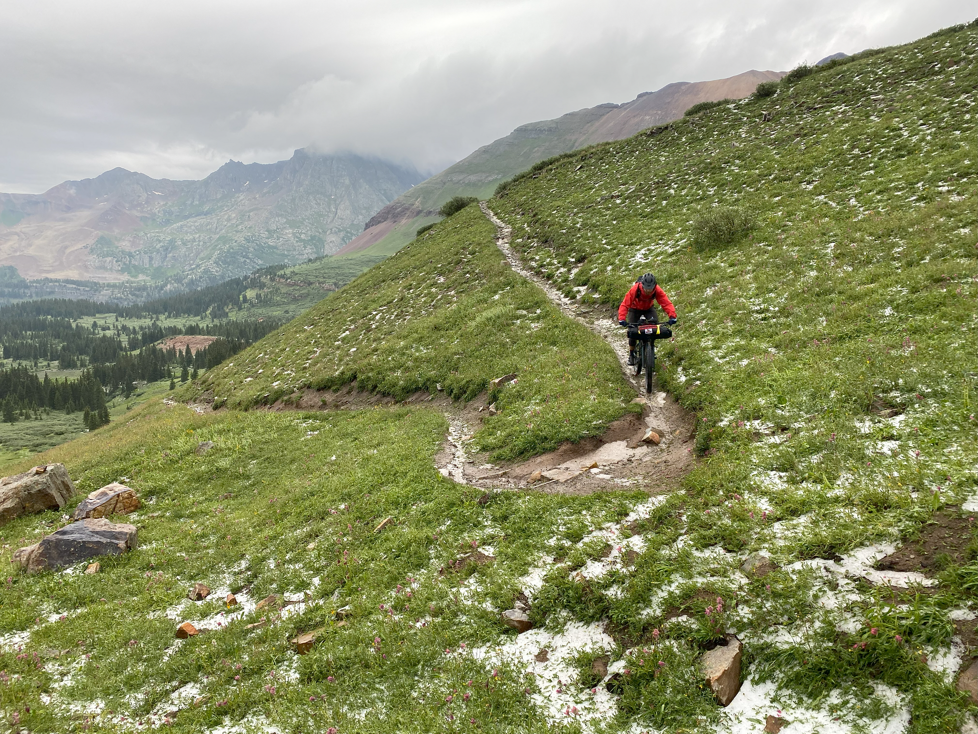
Two fools in the dark but not lost at Stony Pass along the Colorado trail.
On that trip, we’d activate the app when we were skeptical and use it to find exactly where we were compared to the appropriate route. More than once it saved us loads of time and backtracking. Regardless of our level of experience, it was hugely helpful and reassuring.
This is a tool that can help folks feel confident in their route, even if they’re new to unfamiliar roads. Your ride may be on a commonly driven gravel road just outside of town. But it may feel far out there to you. Get out there. You’ve got this.
